The Wolseley Watershed
Mill Street, Wolseley
Wolseley sits astride the shallow divide between two great river systems: rain that falls on one side of town ends in the Atlantic, and on the other side in the Indian Ocean.
- Editor's pick
- Pet-friendly
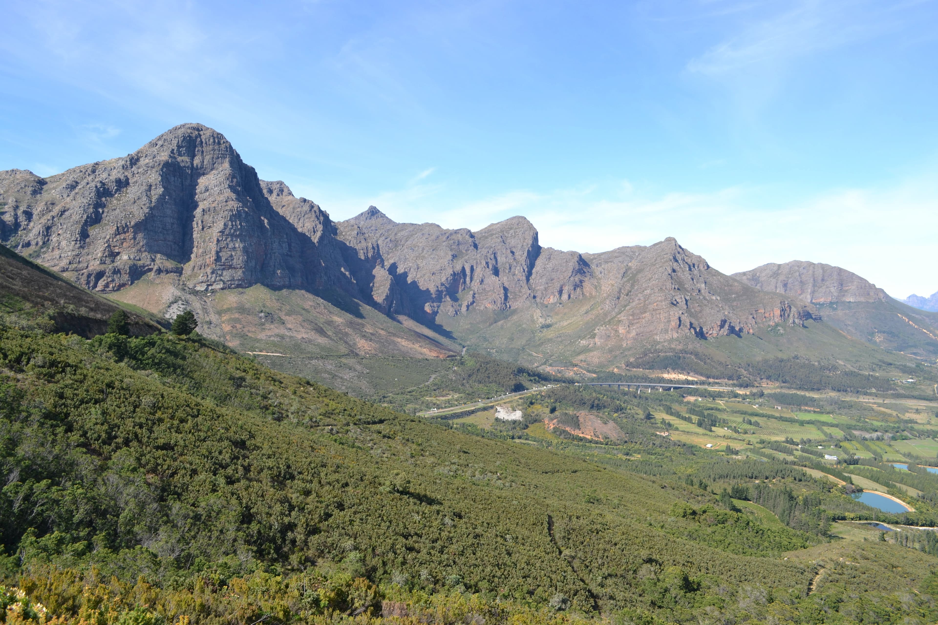
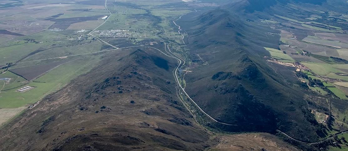
Most towns have a river. Wolseley has two oceans arguing over its rain. The town lies at about 260 metres on a shallow watershed, the waterskeiding, that divides the drainage basins of the Berg and the Breede. A shower falling on the northern side of town drains toward the Klein Berg River and on into the Berg, which winds north-west to meet the Atlantic. Rain on the southern side joins the Breede and sets off the other way: 337 kilometres down the valley to its estuary at Witsand, on the Indian Ocean. Few towns anywhere straddle a divide so neatly that the weather has to choose an ocean street by street.
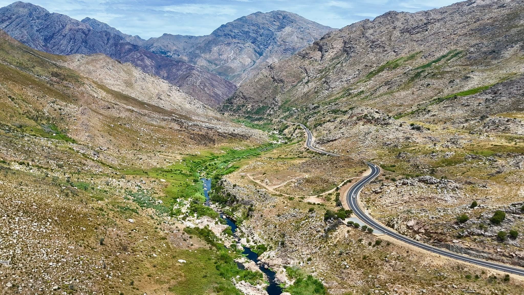
The plumbing is worth a moment. North of the divide, the Klein Berg rises on the slopes of the Groot Winterhoek and gathers the Boontjies River off the Witzenberg before slipping west through the Nuwekloof, the same gap in the mountain wall that the historic pass and the railway thread. In the kloof a weir can divert up to 1.7 million cubic metres of water a day to Voëlvlei Dam, one of the big dams supplying Cape Town; in high summer that can be the river's entire flow. South of the divide, the Breede comes down Michell's Pass from the Skurweberge beyond Ceres, then opens into the broad valley that carries its name. All that converging water is why the valley farms so richly: fruit, olives, wheat, dairy, vines.
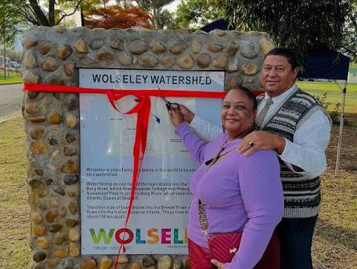
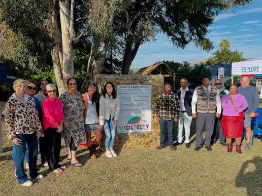
There is no gate and no ticket: the divide is the town, in the shadow of the Mostertshoek peaks. An information board in Mill Street, opposite the primary school, tells the story. Stand there and you are a few paces from tipping a raindrop toward either coast. It pairs naturally with the two drives that follow the water out: Nuwekloof toward Tulbagh the way the Klein Berg goes, and Michell's Pass toward Ceres the way the Breede comes in.