A small town in the heart of the Breede River Valley: wrapped in mountains, built on a railway, watered by two oceans' worth of rivers, and guarded by a 1901 blockhouse.
Wolseley began as Ceres Road Station, a stop on the railway line serving the interior of the Western Cape, where farm produce from the valley was loaded for the larger towns. In 1910 the settlement was renamed in honour of Sir Garnet Wolseley.
Agriculture made the town. The fertile valley carries fruit orchards, vineyards, wheat and livestock, fed by water off the surrounding mountain catchments. The mountain passes that meet here (Nuwekloof, Bain's Kloof, Du Toitskloof and Michell's) made Wolseley the junction between inland farms and the coast.
Today the town is still small, still farming, and increasingly a place people come to walk, ride, taste and stay a while.
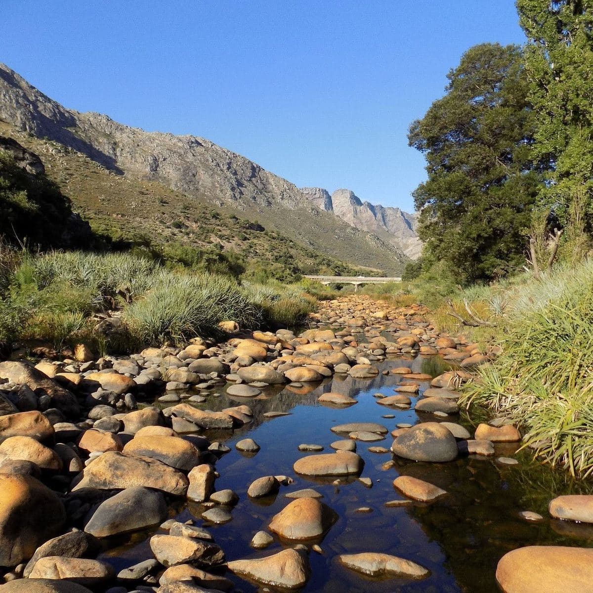
Wolseley sits directly on the divide between two great river systems. Rain that falls on one side of town drains into the Berg River and flows to the Atlantic; rain on the other side joins the Breede and runs to the Indian Ocean. Two drops of rain, metres apart, ending up in different oceans: a quirk of geography almost no other town on earth shares.
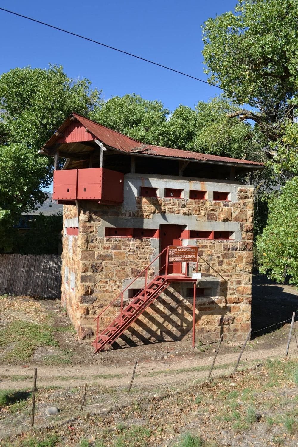
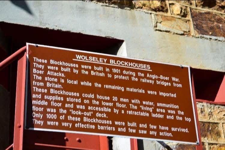
The Wolseley blockhouses were built in 1901, during the Anglo-Boer War, by the British, to protect the railway bridges from Boer attack. The stone is local; the rest of the materials came out from Britain.
Each blockhouse could house 20 men: water, ammunition and supplies on the lower floor, living quarters on the middle floor (reached by a retractable ladder) and a look-out deck on top. Around 1 000 were built across the country. Few saw any action, and fewer still survive.
Wolseley's blockhouse is one of the rare ones left standing, a proud reminder of the stories that shaped the valley.
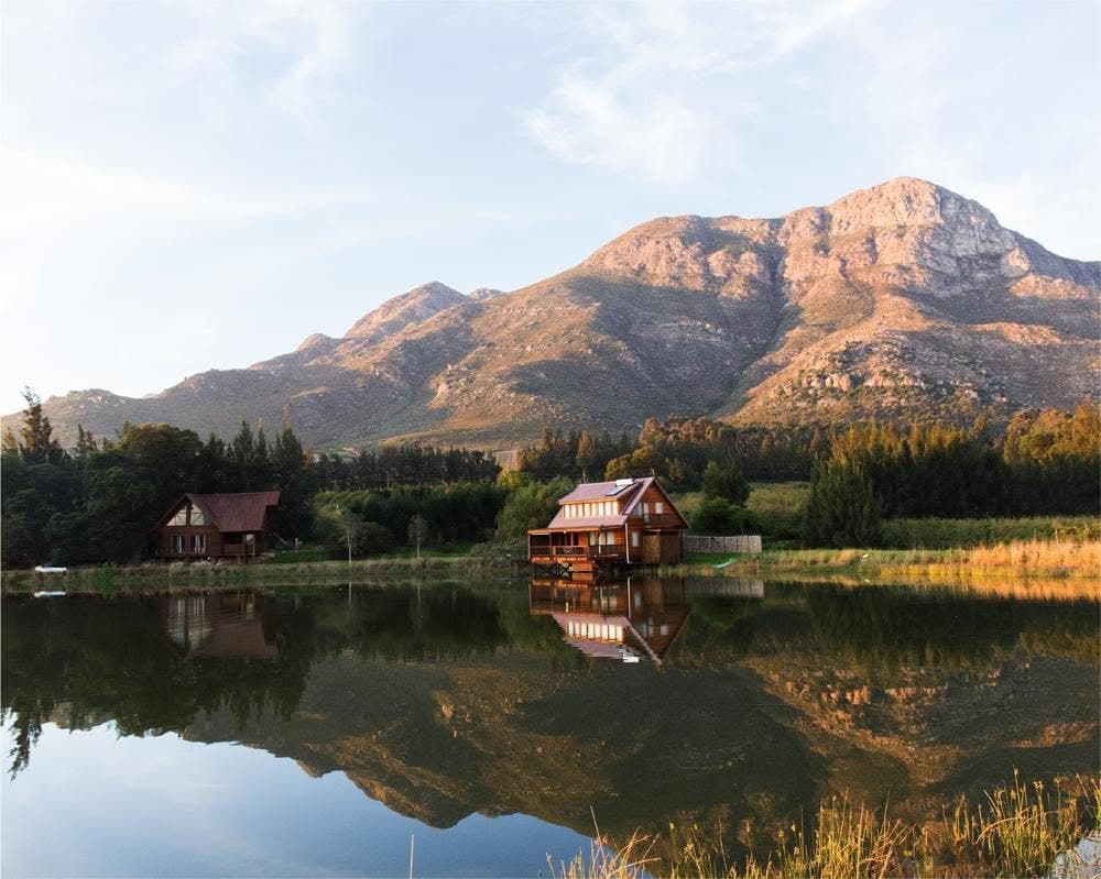
Ninety minutes from Cape Town: wineries, farm stalls, mountain passes, a quiet river, and a town with a story on every corner.
